
It’s time for another Hiking in the Hills post! This go-round we’re talking some of Brown County’s toughest hikes. And by tough, we mean either decently long in length or those earning a “rugged” trail rating (a.k.a. hilly, rooty, rocky terrain). From the steep cliffs of a mountain bike trail to a whopping 40-miler, we have some real doozies around here. Are you ready for a challenge? Read up on some of our most daunting hikes and see if you have what it takes to tackle them!
Trail 9 (with the Trail 9 Extension) in the Brown County State Park
This trek is by far the longest and most difficult hiking trail combo in Brown County State Park! While Trail 9 is about 2.8 miles on its own, if you add in its 2.7-mile Extension Trail from Ogle Lake (that’s one way), you’ve got yourself an 8-mile hike! Park in the Ogle Lake lot, then cross the straight stretch of Trail 7 by the dam and you’ll find the Extension trail head. Get ready because then it’s about a mile-long steep climb up the ridgeline, followed by an equally as sharp descent. Don’t celebrate too much…you have yet another nearly mile climb over the next ridgeline. Once you level out, you’ll find yourself at the Trail 9 loop. Circle around the trail and give those legs a break! You’ll also love the stunning woodland views and serenity! Just know…what goes up, must come down and that includes you! Time to take the Extension Trail back down to Ogle Lake!
Virtual tour of Trail 9 & Extension
Schooner Trace Mountain Bike Trail in the Brown County State Park
We should really call this the Schooner Trace – Walnut Loop because you’re going to have to tackle not one, but two mountain bike trails to conquer this hike! That’s right, you can hike the bike trails…just know that you may have to dodge some shreddin’ cyclists along the way. Schooner Trace is THE most demanding trail in the entire park, mountain biking and hiking combined. Not for the faint of heart, this trail is an expert level bike trail, so you can expect some pretty dangerous, daring terrain. The only way to get to Schooner is via Walnut Trail, which is located either opposite of the fire tower or by Hesitation Point.
Two trails mean more mileage…taking this hike up to about 6.3 miles round trip. Walnut won’t be too big of a challenge but once you hit Schooner, you’ll know! This loop is narrow, rocky, and crosses many small streams. Don’t get too sidetracked with the scenery as most of the time you’ll be hiking above steep and deep ravines! You’ll find yourself climbing on rocks, over logs, and clinging to the cliffside on this adventure-filled hike. Some trekking poles may be beneficial…or just be prepared for a little scrambling (having to use your hands in steep spots). May the force be with you!
Virtual Tour of Schooner Trace
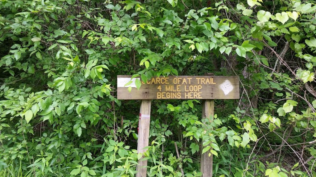
Scarce O’ Fat Trail in Yellowwood State Forest
Here’s another tough trek that’s actually comprised of a multiple trails, making a 5.7-mile loop in the beautiful Yellowwood State Forest! Sure to get your heart pumping, you’ll encounter some deep hollows and high ridgetops, but the stunning view of Yellowwood Lake is totally worth it!
To make this loop, start from the boat ramp parking lot and hop on the Lake Trail. After crossing a creek and gravel lot, you’ll jump on the Scarce O’ Fat Trail. Get ready for a steady climb up and along a ridgeline. Don’t be confused when you have to walk on a fire road before picking up a singletrack trail, which will take you plummeting into a remote hollow. You’ll face another ascent out of the hollow for the highlight of the hike…0.5-mile High King Hill! Make it to the top, and you’ll be greeted with some breathtaking views of the water. It’s not over yet. The descent of High King Hill is the most difficult stretch of the hike, featuring several steep switchbacks. After you bottom out, take a breather before following a gravel road to the dam, then retrace your path to the starting point!
Laura Hare Nature Preserve at Downey Hill
A less well-known, less-trafficked hike, the Downey Hill trek makes this list not because of its difficulty, but more because of its length. This loop tops out right around 6 miles and is more intermediate in nature. Get ready for many ups and downs as you hike up ridges and descend into several valleys. You’ll also come across a handful of creeks that you may have to tip toe through depending on the recent weather. What’s cool about this trail? The sights you may see…including a glacial erratic, an old well, and a building foundation. You definitely won’t mind spending a few quiet hours in the woods with this splendid scenery!
Virtual Tour of Downey Hill
Nebo Ridge near the Story Inn
Pack your lunch and plenty of water for a long day on Nebo Ridge! This out and back trail is about 8 miles one way…taking its grand total up to 16! Yep, it’s a big one. A true backcountry trek, Nebo is a great trail for serious hikers. We recommend starting at the North end, which is located near the Story Inn. Not only is it easier to find the trail head, but you’ll have a tasty meal and ice-cold beverage waiting for you when you get back! Based on its name, you can only imagine that you’ll be tackling a major ridge during this hike. Gradually climbing over 600-feet, be prepared for a slow and steady ascent that’s killer on those legs. Give yourself a round of applause for reaching the peak, then get ready for some little ups and downs before reaching the South end of the trail. Take a break and re-charge before turning around and taking on Nebo from South to North. Be on the lookout for some rocky sections and even downed trees throughout this trail!
Virtual Tour of Nebo Ridge
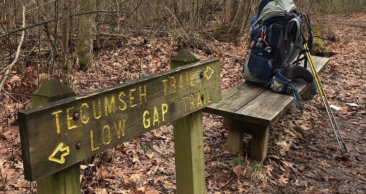
Tecumseh Trail
Here it is…the granddaddy of all trails in Brown County! 42-miles in length, the Tecumseh Trail is by far the longest trek on this list and is a real Indiana backpacking adventure. For experienced hikers only, tackling this trail in all its glory is going to take a few days, which means having the proper knowledge and gear to camp. Stretching across two state forests, this trail offers plenty of time in to soak in Mother Nature. The Tecumseh starts at Morgan-Monroe State Forest headquarters, which is about five miles south of Martinsville and ends in a remote area of Brown County near Monroe Reservoir, taking you through part of Yellowwood State Forest as well.
Too long for us to give you the play by play of this trail, you can expect hilly, wooded terrain with ascents of 100 to 300 feet. Of course, you’re also likely to get up close and personal with some local wildlife, see some creeks and streams, and stumble upon some obstacles. Because of limited parking and camping areas, we recommend checking out the Hoosier Hiker Council’s Tecumseh Trail Guide before your journey to plan out your trip!
There you go…a list of Brown County’s longest, most difficult, and all-around toughest treks! Happy hiking friends!